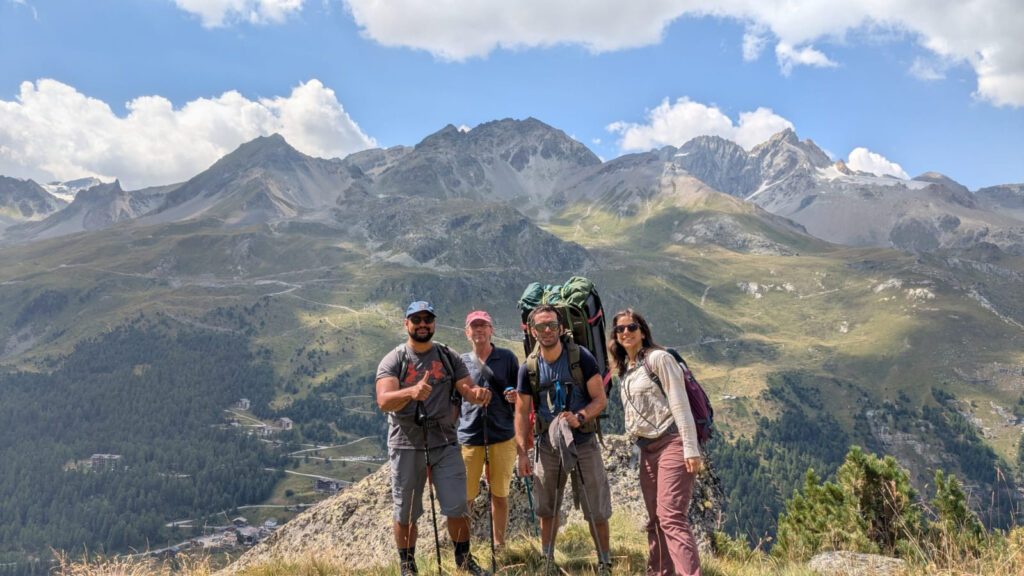
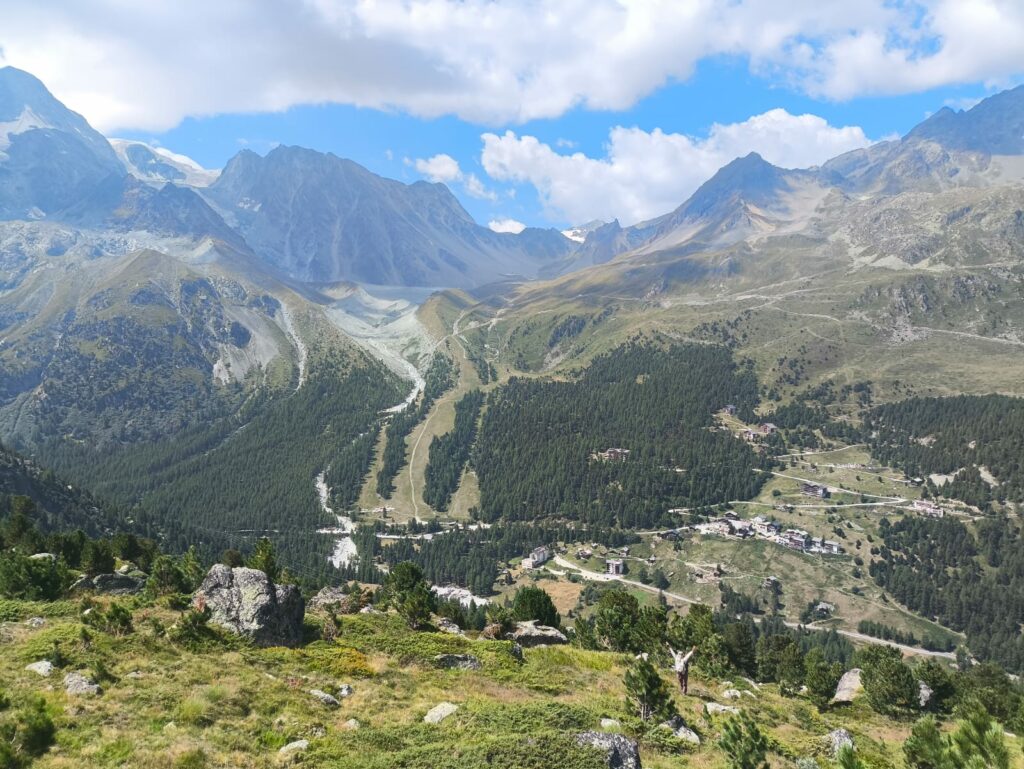
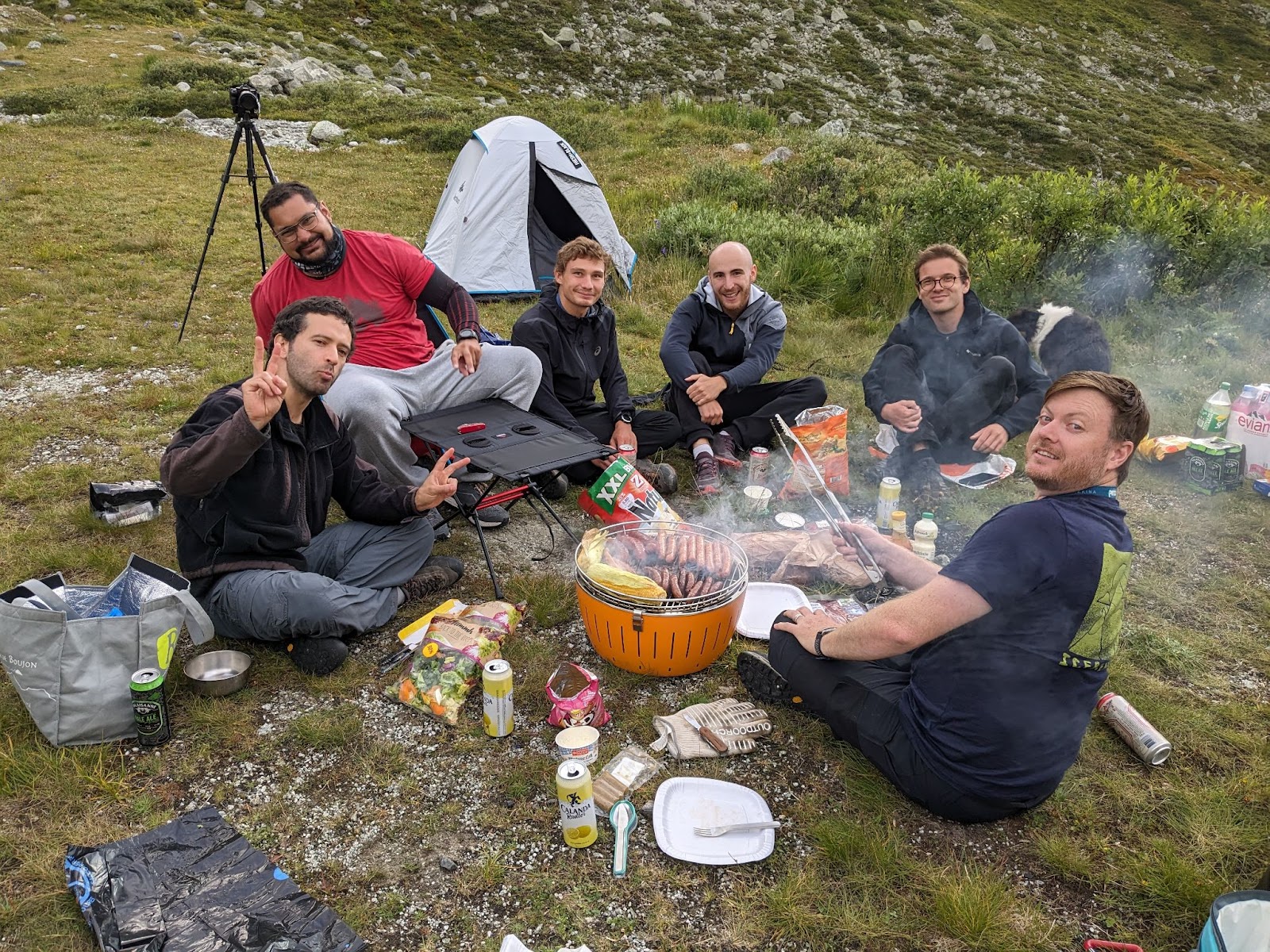
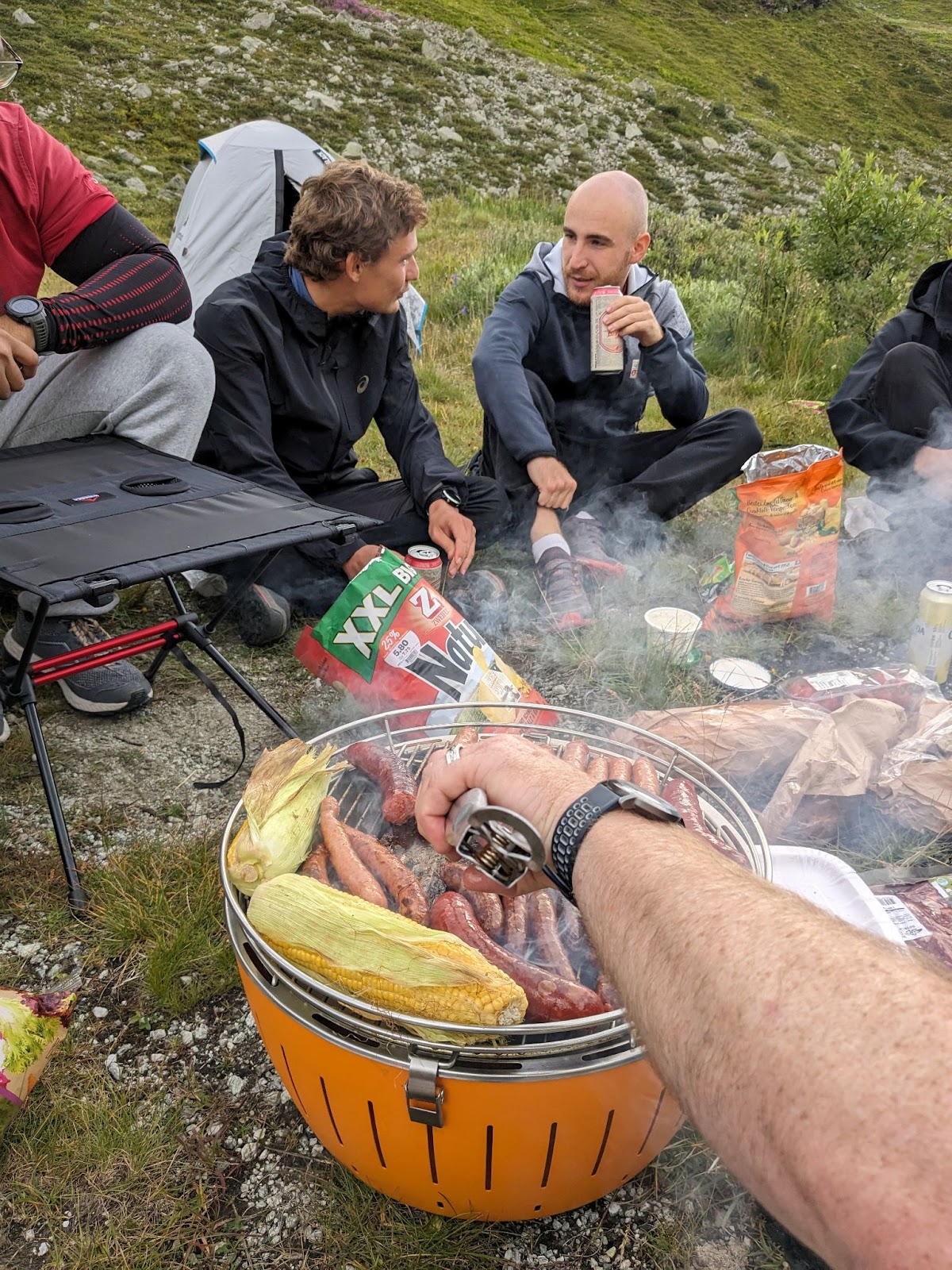
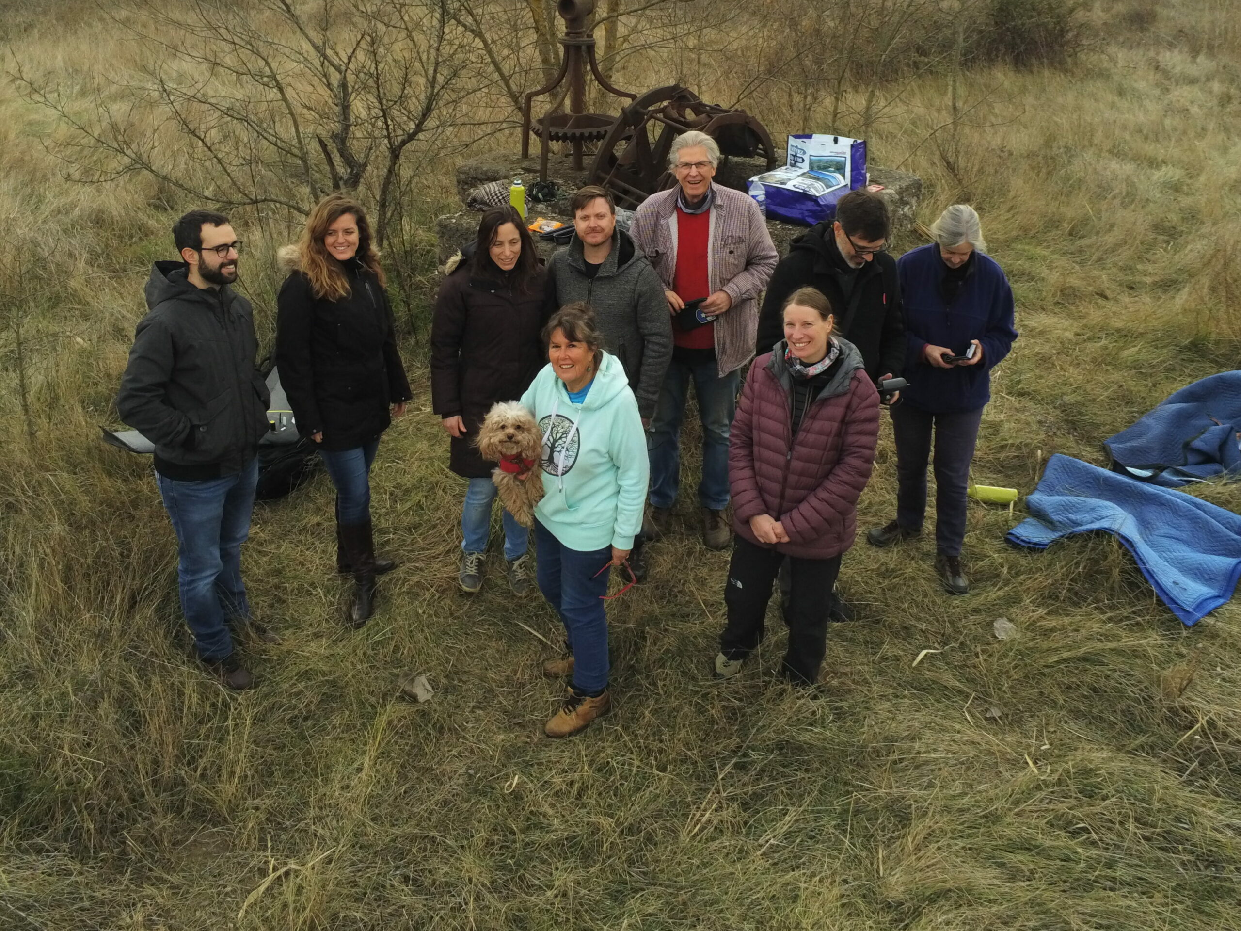
Last August, the Drones4Earth team went for its droning weekend. This is our annual event to practice flying drones, mapping, having a nice time and getting to know each other better. Following the suggestion of a member, we went to the Arolla Valley, in beautiful Valais.
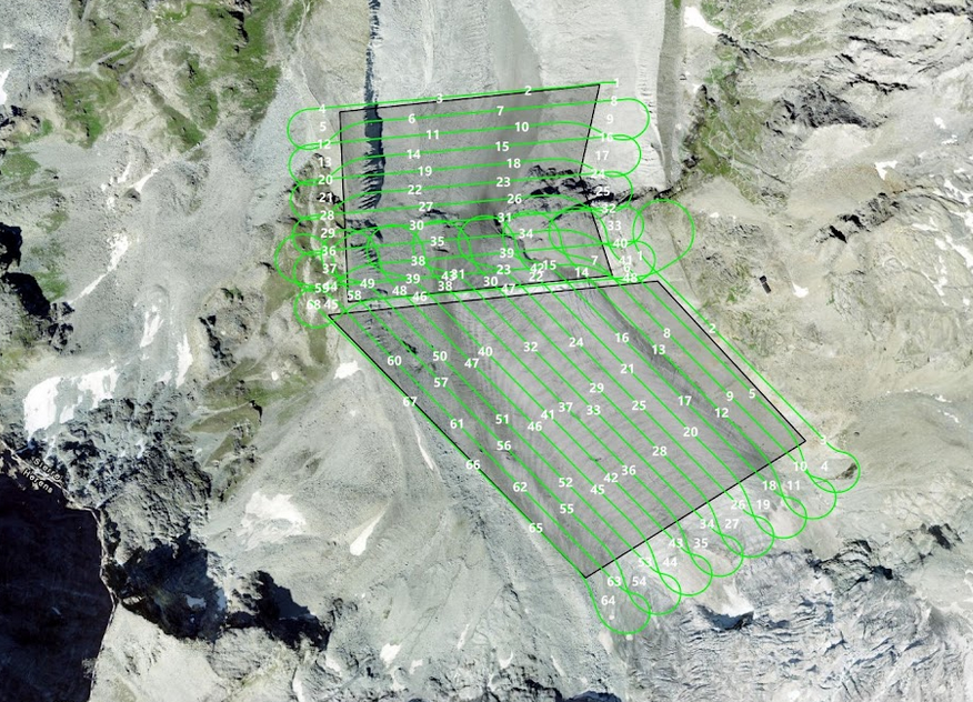
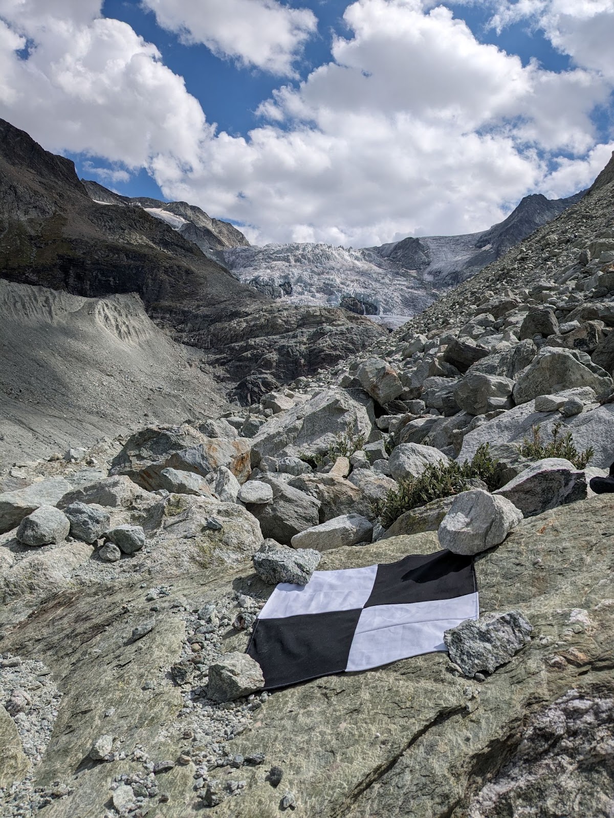
The objective of the mission was to map the La Roussette rock glacier, a distinctive geomorphological landform consisting of rock debris and interstitial ground ice that descends along the west side of the mountain.
Rock glaciers, as permafrost creeping landforms, are important for understanding the status of mountain permafrost; changes in their surface and velocity can provide insight into the relationship between climate and frozen ground.
We went with two quadcopter drones: a DJI Matrice RTK drone equipped with a full-frame Zenmuse P1 camera and a smaller Autel drone.
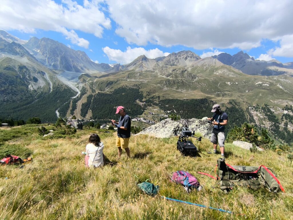
We parked the car near the camp ground in the valley and hiked up to the base of the glacier, to a wide open space to launch the drones. It took about 50 minutes and 2 flights with the Matrice to complete the mission, for a total of 1800 pictures. The resulting 3D mesh can be seen below.
We also had some fun with the smaller drone, filming some cool video and taking some aerial pictures of our group.
Every year, the Drones4Earth team meets up for a mapping weekend. This is an occasion for all members to get familiar with new drones and maintain existing skills. We also take advantage of the occasion to map an interesting landmark, often to help out a research project. All the better if the terrain is tricky, we can test out new techniques and perfect existing ones.
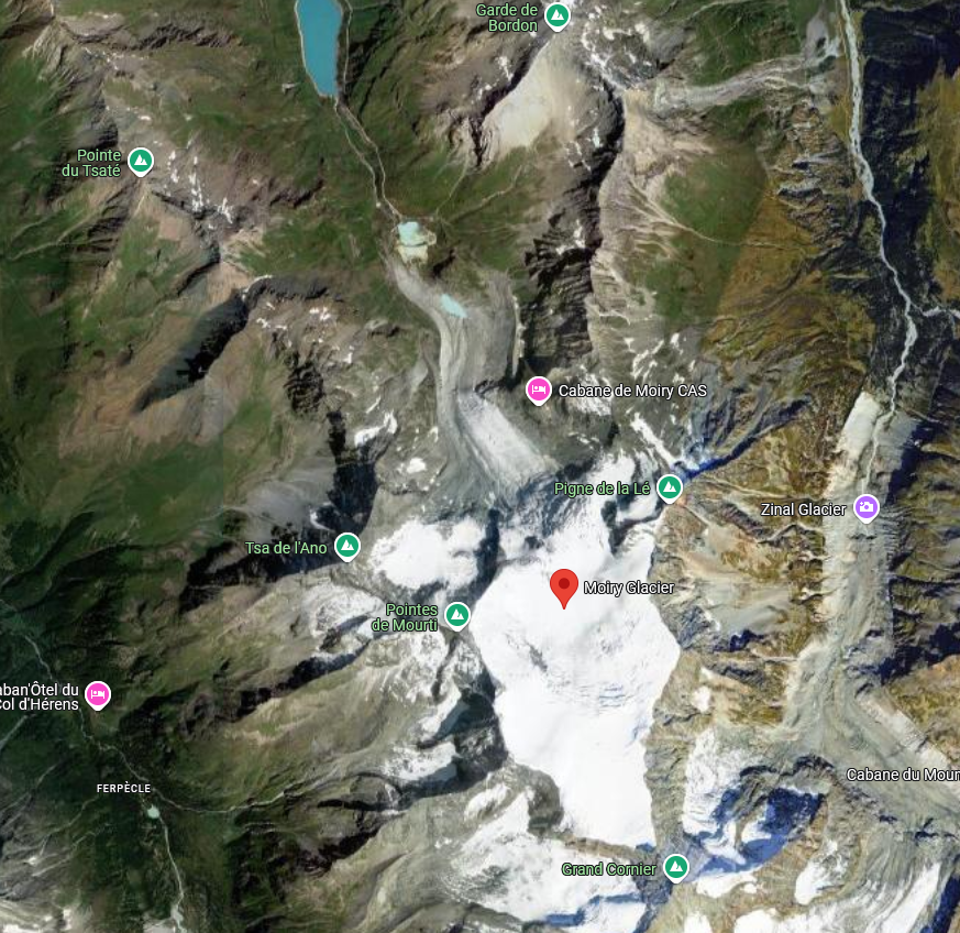
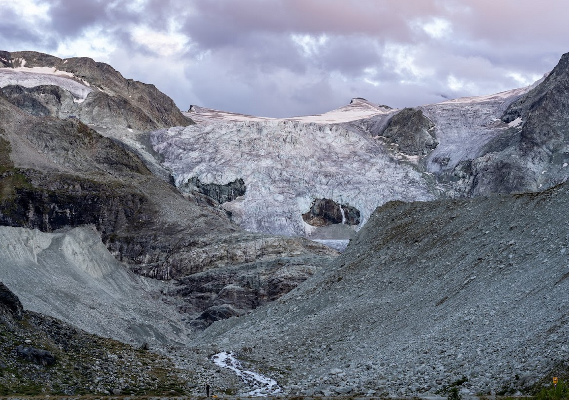
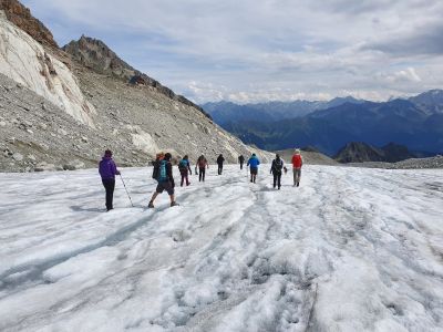
In 2023, we went to Glacier de Moiry, in Valais. It is a beautiful valley glacier, in the top part of Val de Moiry, at an altitude of 2400 m AMSL (at terminus).
It’s not the first time Drones for Earth is on a glacier mapping mission, therefore it might be time to outline why glaciers are an important factor in our environment.
Glaciers play a pivotal role in our environment as:
Freshwater Reservoirs: Glaciers store vast amounts of freshwater as ice, releasing meltwater gradually into rivers and streams, ensuring a steady water supply for ecosystems and human communities, particularly during dry seasons.
Sea Level Regulators: Glaciers regulate sea levels by controlling the amount of water entering the oceans as they melt. Their gradual melt contributes to rising sea levels, which can have profound impacts on coastal regions worldwide.
Climate Indicator: Glaciers are sensitive indicators of climate change. Their retreat or advance reflects shifts in temperature and precipitation patterns, providing scientists with valuable insights into long-term climate trends.
Ecosystem Support: Glacial meltwater nourishes downstream ecosystems, supporting diverse habitats and biodiversity. Many plants and animals depend on glacial-fed rivers for their survival.
The study of these parameters are the tasks of glaciologists.
Glaciologists investigate various aspects of ice and its interactions with the surrounding environment, including the processes of ice formation, movement, and melting, as well as the broader impacts of glacial behavior on climate, sea level rise, and ecosystems. Their work involves field observations, data collection, laboratory analysis, and the use of various tools such as remote sensing technology, ice core sampling, and computer modeling to better understand the dynamic behavior of glaciers and their role within the Earth’s cryosphere and climate system.
This year Drones for Earth had the benefit to have a glaciologist on the team, Sebastian Vivero. He has been studying glaciers globally since more than a decade, including the use of aerial mapping drones to acquire high resolution datasets.
Mapping glaciers with drones results in stunningly detailed and high-resolution datasets that provide insights into the dynamic nature of these icy giants.
Accurate Topographical Mapping for change detection over time:
These drone-generated high-resolution images and elevation data enable glaciologists to create accurate and up-to-date topographical maps of glacier surfaces. By comparing these maps over time, researchers can identify changes in glacier extent, movement, and elevation, allowing them to track the glacier’s response to climate fluctuations and provide a better understanding of glacier dynamics.
Speed and direction of ice flow and dynamics:
Detailed drone imagery allows glaciologists to track the movement of individual ice features, such as crevasses, icebergs, and meltwater channels. By analyzing the speed and direction of ice flow, scientists can model the complex interactions between ice, water, and terrain. This information is crucial for predicting how glaciers will respond to different climate scenarios.
Volume and Mass Balance:
Glaciologists need accurate measurements of glacier volume and mass balance to assess their health and contributions to sea level rise. Drones equipped with sensors can gather data on ice thickness, which, when combined with surface elevation data, helps estimate the overall volume of ice. By monitoring changes in mass balance over time, scientists can gauge the impact of melting and accumulation.
Meltwater and Hydrology:
Drones also provide insights into the hydrology of glacier systems. By observing meltwater patterns and channels on the glacier’s surface, glaciologists can understand how meltwater moves through the glacier and contributes to downstream freshwater systems. This information is crucial for managing water resources in regions that rely on glacial meltwater.
Climate Change Indicators:
The data collected from drone surveys contributes to our understanding of climate change impacts. As glaciers are sensitive indicators of temperature and precipitation patterns, their behavior can provide information about broader climate trends. The observations made contribute to climate models and inform policy decisions.
Safety and Accessibility:
Drones are also instrumental in improving safety during glacial fieldwork. Traditional ground-based surveys can be hazardous due to crevasses and uneven terrain. Drones allow glaciologists to explore and analyze hard-to-reach areas without risking human lives, enhancing both safety and efficiency.
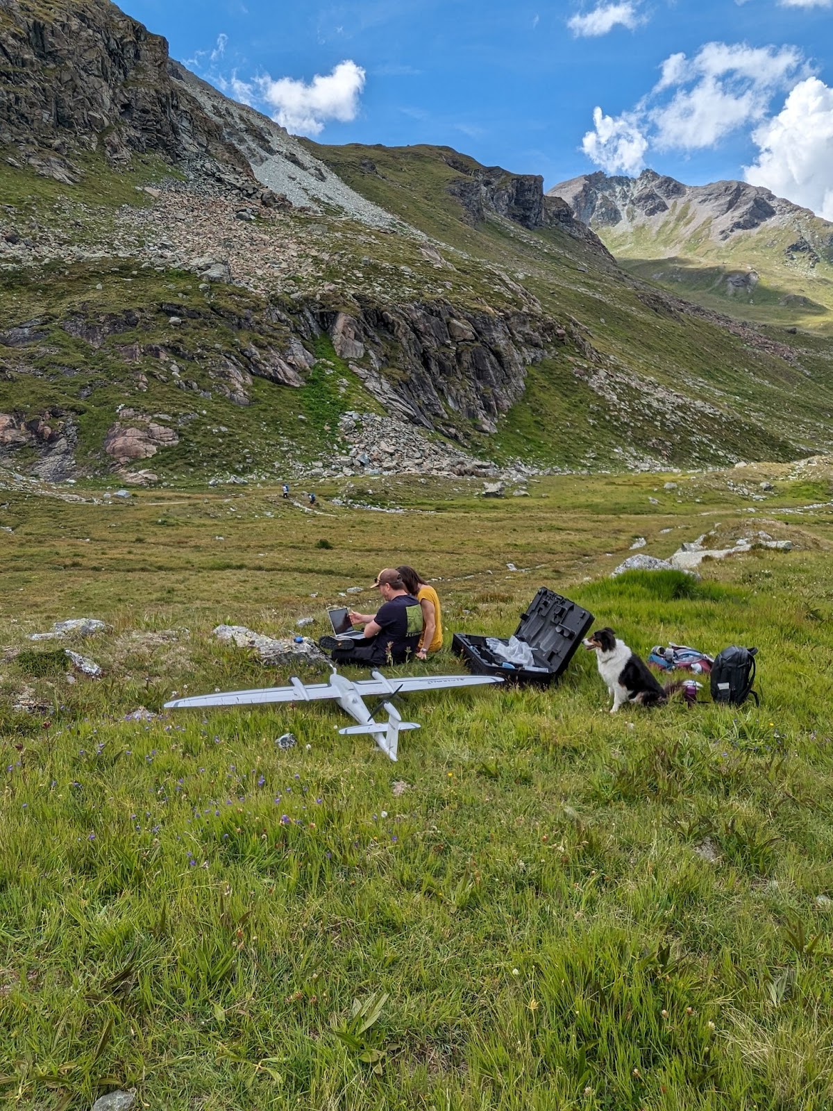
To create the digital 3D model of the Moiry glacier, we organized ourselves into two teams. The first team layed out the ground control points (GCPs) around the bottom part of the glacier. The second team hiked further up to reach a good take-off and landing spot, plus including a good viewpoint to maintain the drones in line of sight.
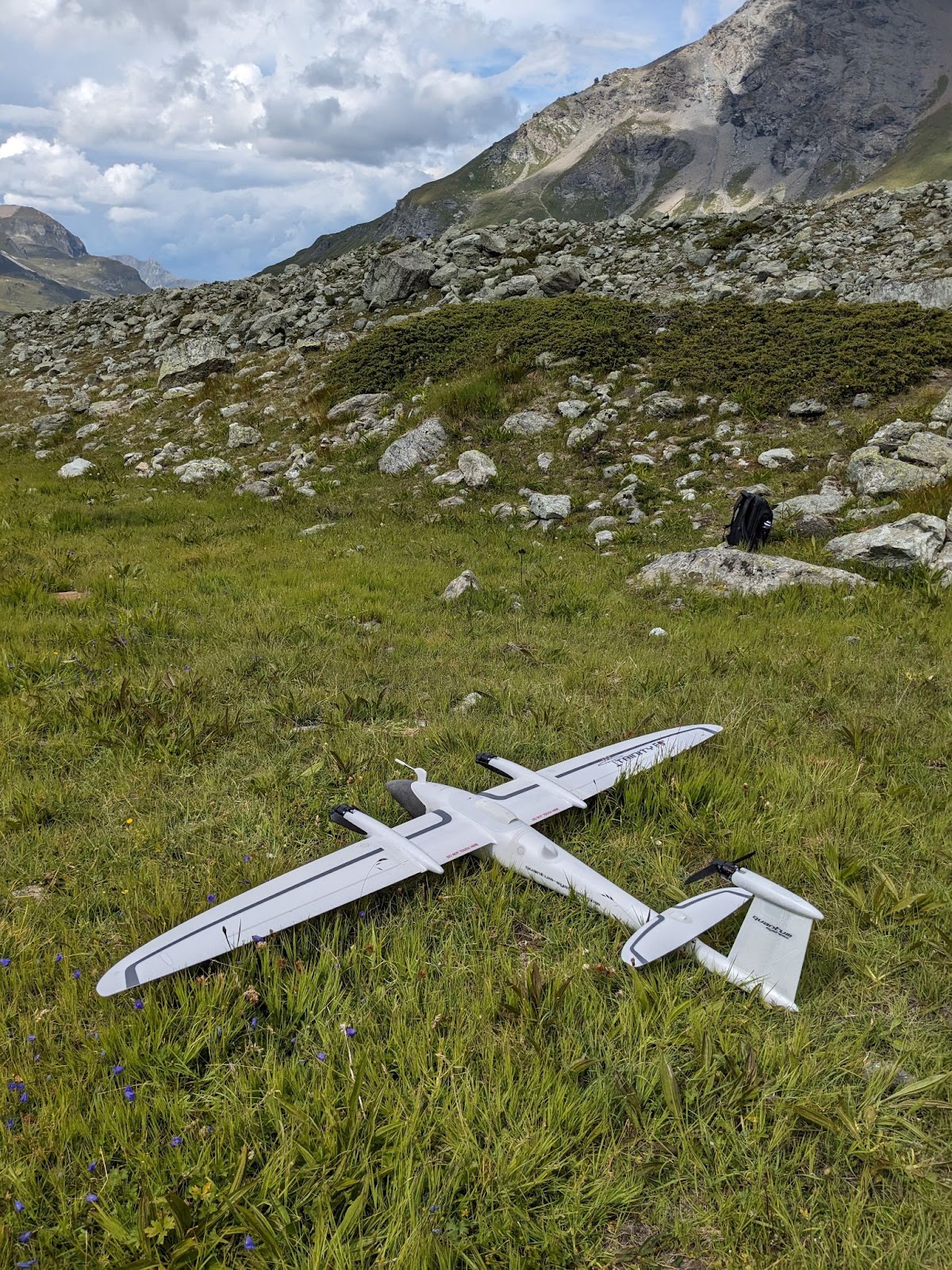
We had brought a Trinity F90+, an eBee X and a Phantom 4 RTK. While we wanted to compare the different outputs, we came to realize that a combination of the datasets would deliver the best results.
The terrain is very complex, which means a fixed-wing drone will struggle to maintain a regular GSD throughout the acquisition, while a copter drone achieves this more easily, but will take significantly longer to complete the entire area.
Having put down the ground control points, we started the drone data acquisition. Due to weather, we didn’t manage to finish the first day and had to continue the next day.
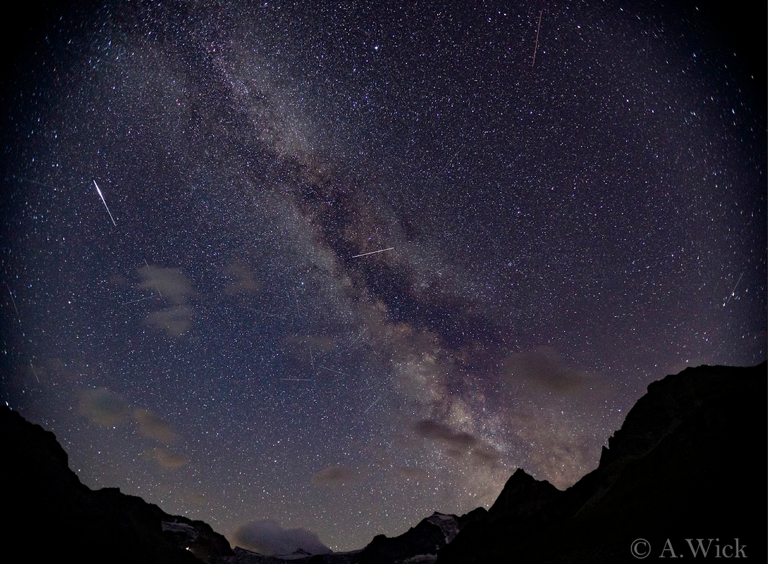
The teams gathered strengths during extensive BBQ at the campsite. our timing was perfect as we got to admire the Perseid meteor shower at its peak, without interference from the moon. The shooting stars were so bright they lit up the valley!
On the second day we continued our mission. In total we collected over 1500 images, covering about 160 hectares within about 120 min of flight time.
In conclusion, the rich datasets generated by these missions empower glaciologists to study glaciers in unprecedented detail, leading to enhanced understanding of glacier behavior, the impacts of climate change, and the broader implications for global ecosystems and sea levels. As technology continues to advance, drone-based mapping promises to further expand our knowledge of these vital components of our planet’s cryosphere.
Thank you to our supporters Quantum-Systems, Agisoft Metashape, AgEagle and UNIL.
The association “Actions pour le climat et la planète à Cessenon” & Drones for Earth have joined forces!
It all started on a whale watching tour in Iceland (to learn more about this adventure have a look at Kiki the Monkey travel blog) and ended with planting trees in Cessenon-sur-Orb, France.
A Parrot Anafi helped to document the activities and create some more scenic shots. Anafi 1.8.2
While searching for Humpback whales in the Arctic Sea, a member of Drones for Earth, Aurélie, met Susan and Drew; an Australian-American couple that has had 1000 lives and will have so many more. These nature lovers are retired and live in a charming village, Cessenon-sur-Orb, in France.
Susan and friends have created a new association “Actions pour le climat et la planète à Cessenon”. Its mission is to plant trees, to create a small forest to help improve the biodiversity of the area, absorb carbon dioxide, create oxygen and serve the community as a quiet relaxing retreat from their busy lives.
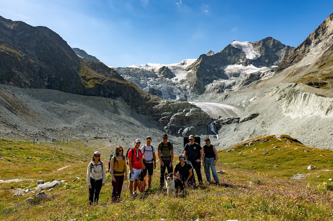
This year Drones For Earth was in the swiss valley Arolla for their annual members outing. Again we taught each other the useful and necessary skills for completing the challenging missions we do, plus test our equipment to it’s limits, while of course having a good time! 🙂
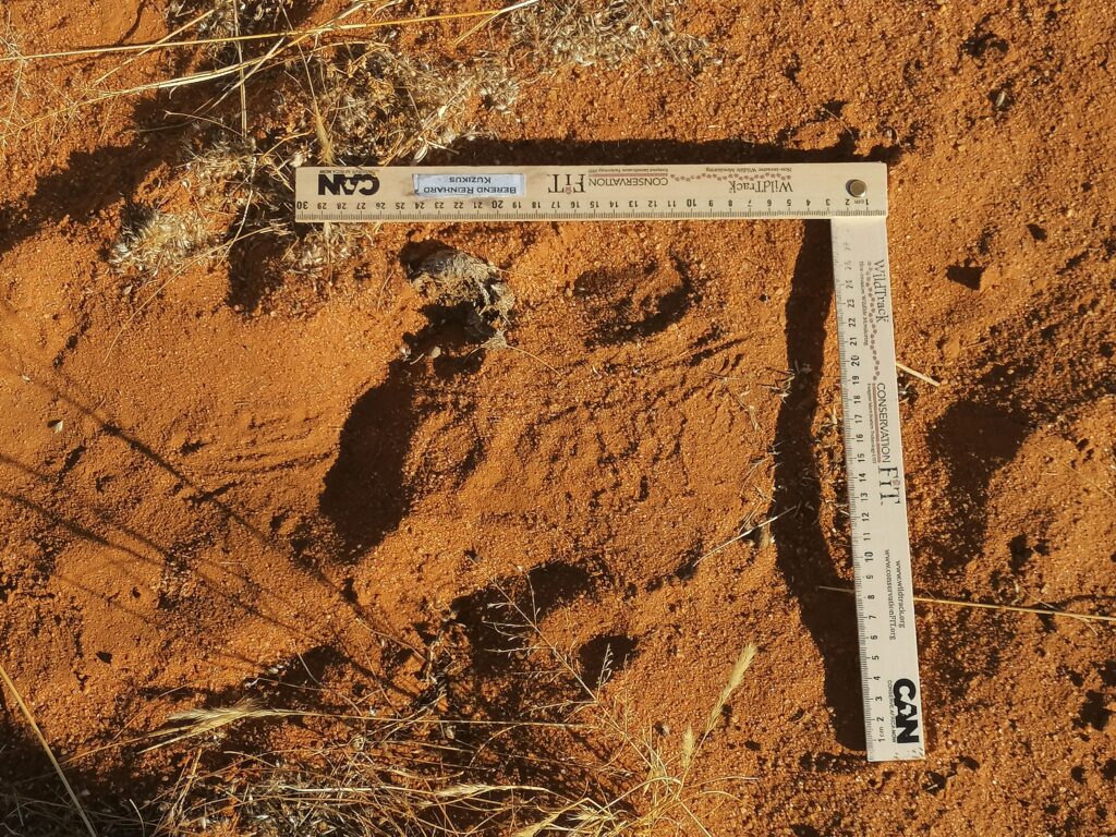
Yes, you are reading correctly. Namibia it was again! This time with a team made up of Drones For Earth, WildTrack, and all the team at Kuzikus Wildlife Reserve where we all met.
With great advancements in technology in the last two years the bar was set high: map-process-train AI – apply AI to detect tracks not only of different animal species, but also between different animals within the same species.
As a small side project, the entire 100sqkm of the reserve was mapped at 4cm resolution.
Every year the Drones For Earth team heads out to complete a project altogether. Besides reviewing all aspects of a drone mapping mission, from planning and preparing to capturing the data and processing, it’s also about having a great time together!
This mission is a follow-up of the Eigenthal and Rothenthurm bogs mapping, previously conducted with Pro Natura. The goal is to collect data to perform hydrologic simulations, and plan better the future work to preserve the bogs.
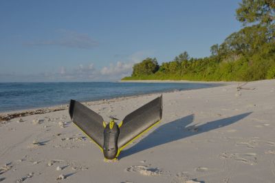
With already over 15 missions under our belt, we have mapped just about any landscape with our drones. But the one thing we haven’t done yet is to give marine conservation a hand. Mapping St-Joseph atoll in the Seychelles and acquiring high-resolution aerial images to identify shark and ray pups seemed like the perfect challenge to introduce our drones to the salty and wet air of marine conservation.