Namibia – all about tracks
Yes, you are reading correctly. Namibia it was again! This time with a team made up of Drones For Earth, WildTrack, and all the team at Kuzikus Wildlife Reserve where we all met.
With great advancements in technology in the last two years the bar was set high: map-process-train AI – apply AI to detect tracks not only of different animal species, but also between different animals within the same species.
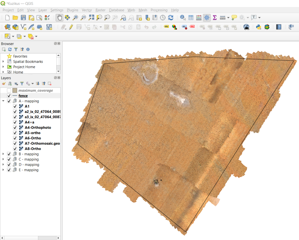
As a small side project, the entire 100sqkm of the reserve was mapped at 4cm resolution.
Here are some key mission numbers:
Project performed in: October 2020
Duration: 4 weeks
Total number of flights: 77
Flights per flying day: 5-6
Average flight time per flight: 55min
Cameras: senseFly Aeria X, senseFly Duet T
UAVs: 1 senseFly eBee X, 1 Parrot Anafi, 1 Skydio
Number of images collected: 35’905
Location and Conditions:
The Kuzikus Wildlife reserve is located near the Kalahari Desert; hence the terrain is of type semi-arid Savanna. With the mission taking place mid-October into November, it’s the end of the dry season and rain is to come soon.
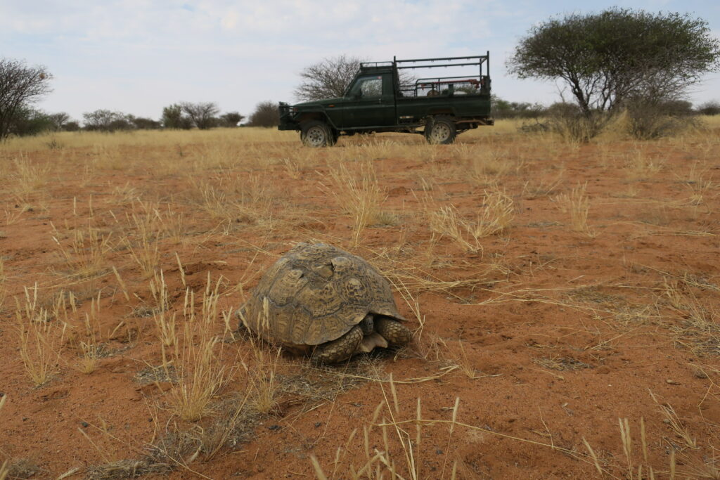
Turtles emerging are a sign of approaching rain.
Temperatures up to 35°C midday, strong winds carrying sand/dust and dry exposed sandy soil were a challenge for all the tech equipment.
Daily “blow outs” of laptops and drones with compressed air were a must to keep going. Working the latest senseFly fixed wing eBee X that features an easy exchangeable pitot tube was a blessing.
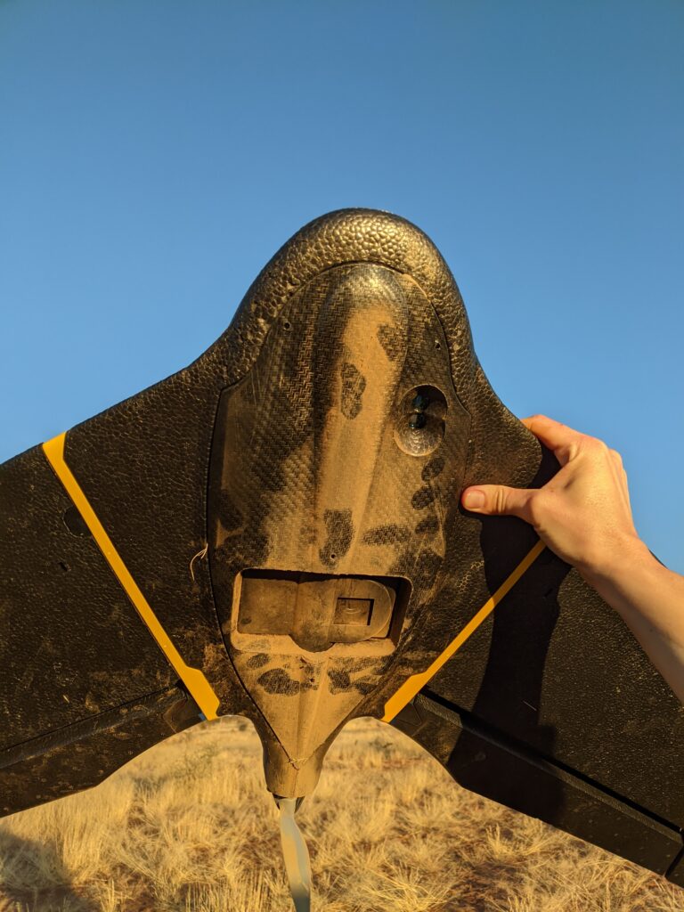
Despite all material taking a good beating, everything lasted for the four weeks. Compliments to those companies senseFly, Parrot and Skydio (?) for having robustified their systems to that level.
Mapping the reserve:
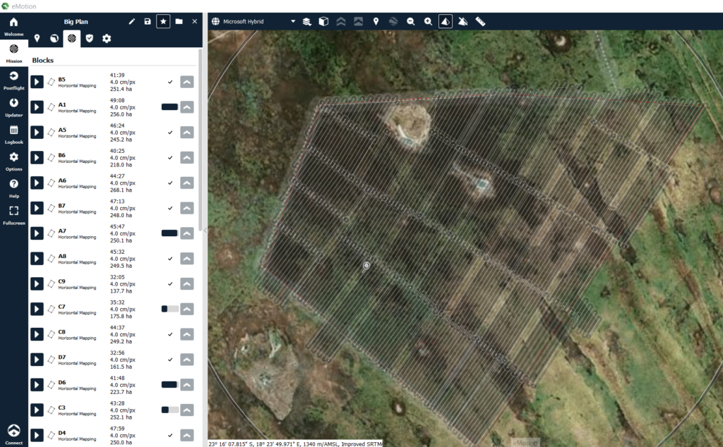
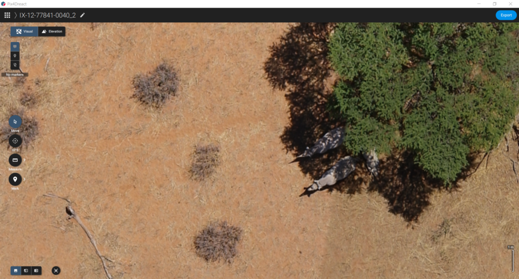
100sqkm at 4cm with limited amount of flight hours per day due to heat, need for shadows and wind was a challenge, but feasible within the timeframe available. The processing of the data was done on place at Kuzikus using Pix4Ds React software (https://www.pix4d.com/product/pix4dreact).
The orthomosaics were then loaded into a QGIS project and tweaked for faster rendering when working with the data.
This dataset helps with the wildlife reserve management, to quantify different ground covers, classify vegetation, or even count plant species.
Other ideas like virtual tourism or print outs for self-organized exploring by Kuzikus visitors and more emerged of course as well.
The Tracking project:
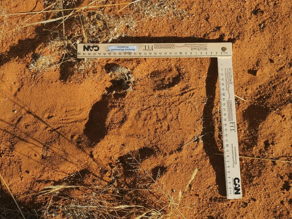
Identifying animal tracks gives information about the type of species, sometimes health of the animal, amount of animals and behavioral patterns. Nothing knew to a Namibian bushmen who would use their tracking skills to source food back in the old times.
PIC of someone tracking?
Now the challenge of the project is to replicate the bushmen skills using drone imaging or videoing and AI.
Training these AI algorithms requires a lot of data, well after one eBee flight collecting 800 images, no complaints were raised anymore concerning the data problem and the teams got to train the algorithm.
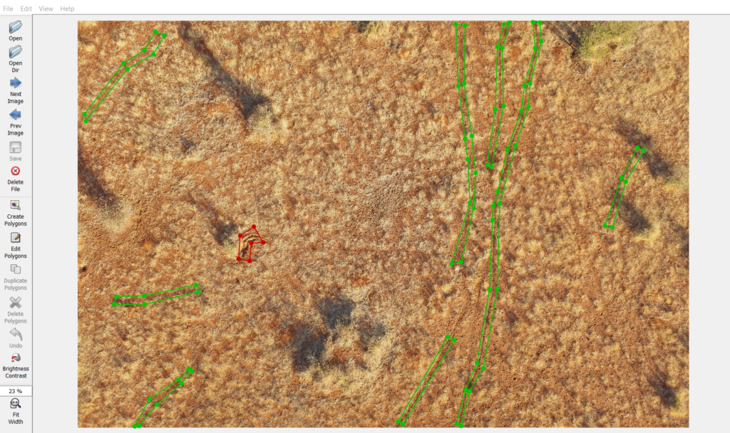
The focus was on black rhino tracks living in the reserve as part of the Namibian Rhino custodian program. These rhinos are being monitored for health issues. …..
Therefore, the daily drill was: up early and check where a rhino was active during the night, a tricky task in a 100 sqkm reserve. Once tracks were found the drones would go into action and map the tracks to acquire training data. Then back to the farm, process or use the data directly to label and train the algorithm. Some promising results are emerging already, but more about these in a 2nd Part (register for our newsletter to learn more about this continuation once ready).
Many thanks to our technology partners:

and of course to our project partners: