Nature conservation in Namibia
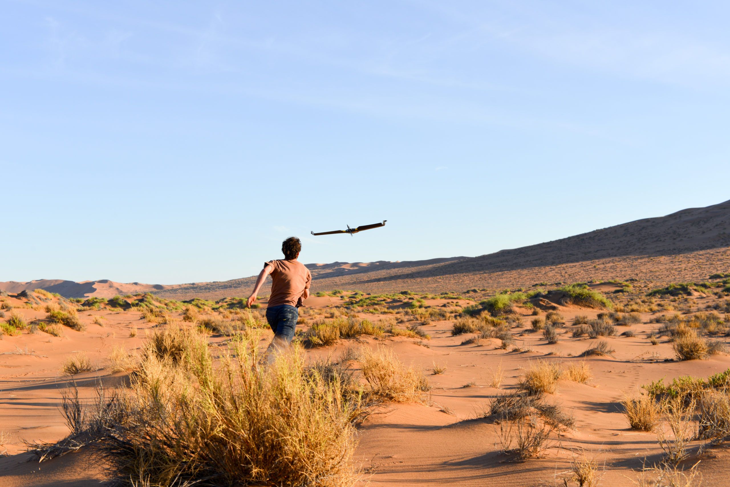
In May 2014, four members of Drones For Earth spent two weeks in the wild Namibian bush drone-mapping savanna, sand and rock for land and wildlife conservation.
As a picture speaks a thousand words, here’s a gallery of images from our flights at Kuzikus Wildlife Reserve and the Gobabeb Research and Training Center.
The mission in numbers:
- Project performed in: 2014
- UAS platform: senseFly eBee
- Camera payload: RGB
- Total flights: 91
- Total images acquired: 15,000
During this mission we took almost 15,000 aerial images with 91 eBee drone flights, generating 350GB of data that took our friends at Pix4D and EPFL-LASIG weeks to process! Analysis of the data is still ongoing, here’s a sneak peak at one of the zones that we mapped around Gobabeb:
We call this dataset “The Three Deserts.” The dry Kuiseb riverbed has enough water during the year to support lush green trees on its dry shores, and creates a natural border between the red sand dunes of the Namib desert to the south-west and the rocky yellow expanse of the to the north-east. As an added bonus, have a look at this video fly-through of the dataset!