Drones4Earth Weekend 2025: Mapping the La Roussette Rock Glacier
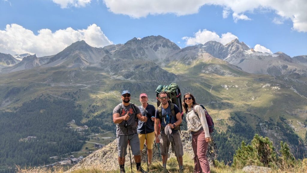
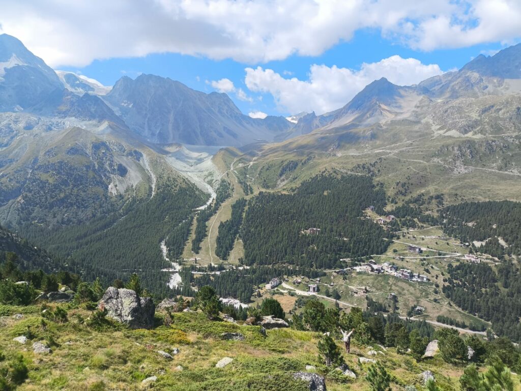
Last August, the Drones4Earth team went for its droning weekend. This is our annual event to practice flying drones, mapping, having a nice time and getting to know each other better. Following the suggestion of a member, we went to the Arolla Valley, in beautiful Valais.
The objective of the mission was to map the La Roussette rock glacier, a distinctive geomorphological landform consisting of rock debris and interstitial ground ice that descends along the west side of the mountain.
Rock glaciers, as permafrost creeping landforms, are important for understanding the status of mountain permafrost; changes in their surface and velocity can provide insight into the relationship between climate and frozen ground.
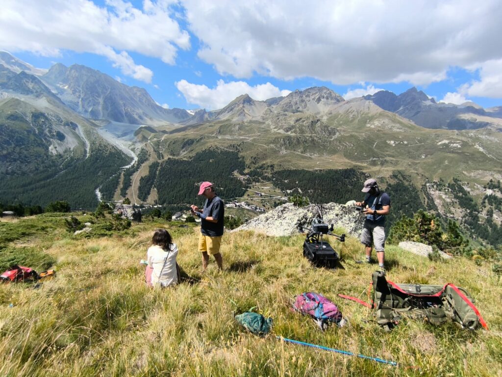
We went with two quadcopter drones: a DJI Matrice RTK drone equipped with a full-frame Zenmuse P1 camera and a smaller Autel drone.
We parked the car near the camp ground in the valley and hiked up to the base of the glacier, to a wide open space to launch the drones. It took about 50 minutes and 2 flights with the Matrice to complete the mission, for a total of 1800 pictures. The resulting 3D mesh can be seen below.
We also had some fun with the smaller drone, filming some cool video and taking some aerial pictures of our group.
https://sketchfab.com/3d-models/la-roussette-rock-glacier-20250816-f27cc28f09da4685a6784714ce1f1cee
Overall it was a great occasion to flex our droning muscles and enjoy a beautiful end of the summer day in the Swiss Alps.